Race Across the West 2019 Route
|
|
|
Pacific Coast, Peninsular Range, and the Salton Trough
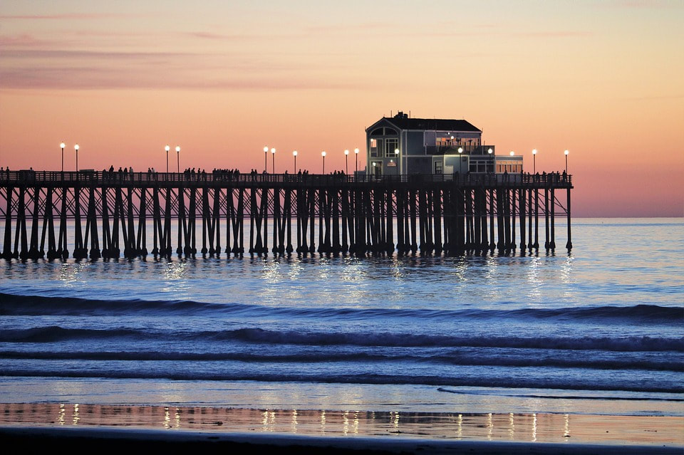
Oceanside Pier
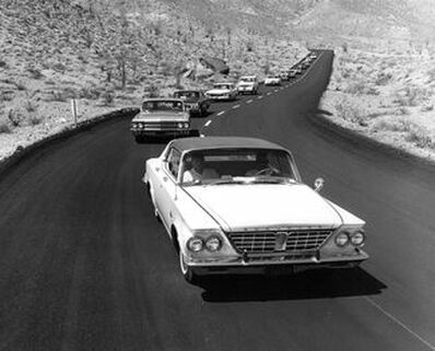 The July 1964 opening of the "Glass Elevator" down to Borrego Springs. Credit Borrego Sun ( https://www.borregosun.com/photos/big/1038/12) The July 1964 opening of the "Glass Elevator" down to Borrego Springs. Credit Borrego Sun ( https://www.borregosun.com/photos/big/1038/12)
|
|
CA-78 near the lowest point on the RAW/RAAM route, 190 feet below sea level.
|
The Sonoran Desert
|
|
|

The Chocolate Mountains
 The Parker Valley.
"Hoodoo Point", 309 miles into RAW along AZ Highway 72. This is the point where I have now riden farther than ever before--Hoodoo 300 was 309 miles (what's and extra 9 miles when you are having fun?).
|